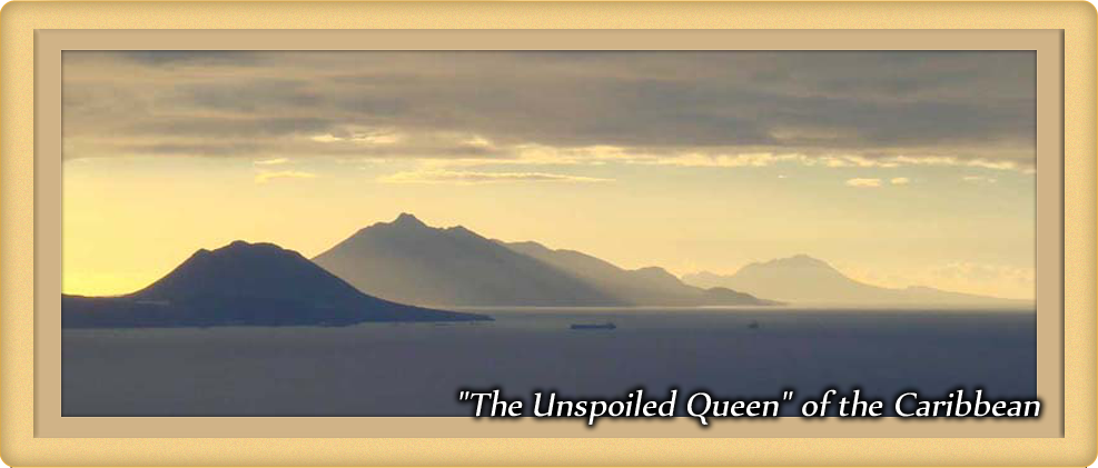
Saba is a 5 square mile volcanic island located 35 miles south-southwest of St. Martin in the Caribbean Sea. Sighted by Christopher Columbus on his second voyage to the new world, Saba was ultimately claimed by the Dutch in 1816. During the 1800's most of the male population went to sea and became highly skilled fishermen and seamen. Seafaring continued to be an important part of Saban life well into the 1900s, with Saban captains sailing throughout the Caribbean and world.
Due to Saba's steep topography, travel on the island was via footpath and goods were carted on donkeys until 1943 when the first concrete road was built from Fort Bay to The Bottom. The first motor vehicle arrived in 1947, and by 1958 "The Road" was completed linking all the villages and the harbor. The airport was completed in 1963. Electricity finally became regularly available throughout the day in 1970. In 1972 the Leo Chance Pier in Fort Bay was opened, accommodating fishing boats, work boats and small cruise ships.
In 1992 the Saba University School of Medicine was established as a joint project between the island government and a group of medical educators from the United States. The Saba University of Medicine continues to have a large presence on Saba to this day.
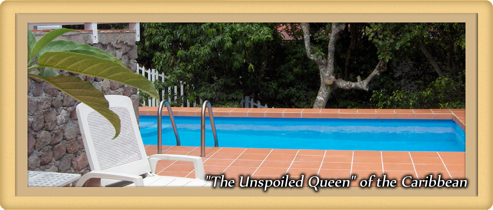
Today Saba is known as an ecotourism site with stunning hiking, diving and bird watching, and for the not-so-physically-inclined, wonderful hammock-lounging. Several island-based dive operations take advantage of the Saba National Marine Park. The Marine Park surrounds the entire island and extends down to 60 meters in depth. It contains lava tunnels, hot springs, spur and groove formations and sheer wall dives as well as an abundance of marine life. Check out the reef picture, above, taken by past Saba residents Tom and Lynn Franzson.
To learn more about Saba, check out the Saba Tourist Bureau and the Saba Conservation Foundation (home of the Saba National Marine Park and the Saba National Park). If on Saba, be sure to pick up a copy of Saba Lore, Tales from my Grandmother's Pipe by Will Johnson (1989) and Saban Trails...a Walking and Hiking Guide, by the Saba Conservation Foundation (1998). Both provide fascinating glimpses back into Saba's history.
And for a look at Saba in the early 20th Century, take a look at this "documentary" that was produced in 1937:
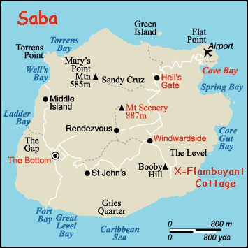
Maps of Saba
Saba is located at Latitude 17º 38' North, Longitude 63º 14' West.
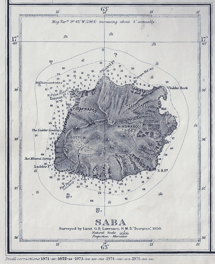
This out of date British Admiralty Chart has a beautiful rendering of Saba. It's based on an original survey completed by the HMS Scorpion in 1850, though it's been updated through 1975. Click on photo for a bigger version.


 Saba is a 5 square mile volcanic island located 35 miles south-southwest of St. Martin in the Caribbean Sea. Sighted by Christopher Columbus on his second voyage to the new world, Saba was ultimately claimed by the Dutch in 1816. During the 1800's most of the male population went to sea and became highly skilled fishermen and seamen. Seafaring continued to be an important part of Saban life well into the 1900s, with Saban captains sailing throughout the Caribbean and world.
 Due to Saba's steep topography, travel on the island was via footpath and goods were carted on donkeys until 1943 when the first concrete road was built from Fort Bay to The Bottom. The first motor vehicle arrived in 1947, and by 1958 "The Road" was completed linking all the villages and the harbor. The airport was completed in 1963. Electricity finally became regularly available throughout the day in 1970. In 1972 the Leo Chance Pier in Fort Bay was opened, accommodating fishing boats, work boats and small cruise ships.
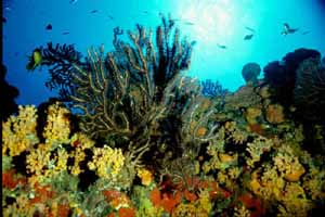 Today Saba is known as an ecotourism site with stunning hiking, diving and bird watching, and for the not-so-physically-inclined, wonderful hammock-lounging. Several island-based dive operations take advantage of the Saba National Marine Park. The Marine Park surrounds the entire island and extends down to 60 meters in depth. It contains lava tunnels, hot springs, spur and groove formations and sheer wall dives as well as an abundance of marine life. Check out the reef picture, above, taken by past Saba residents Tom and Lynn Franzson.